What happened
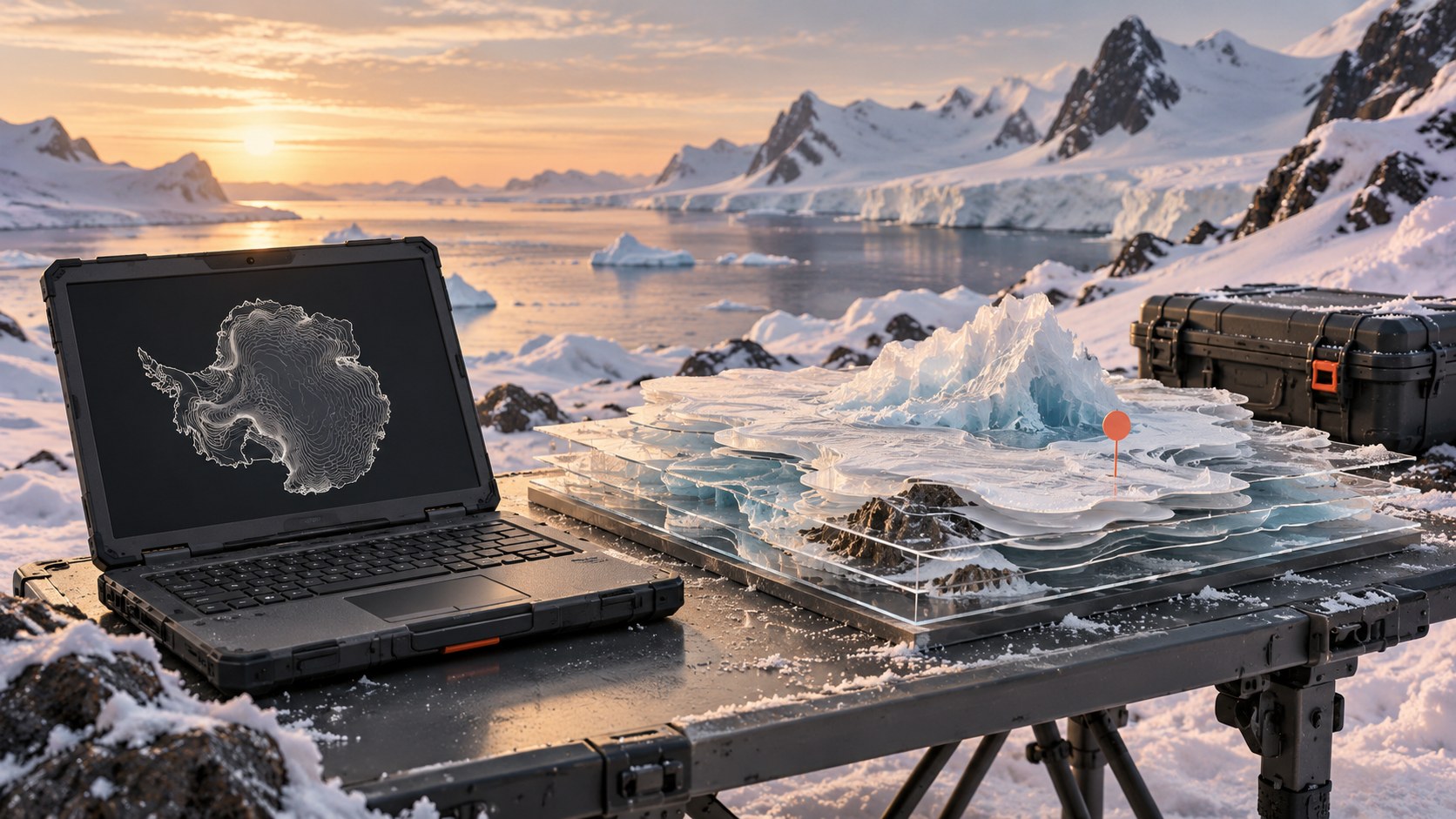
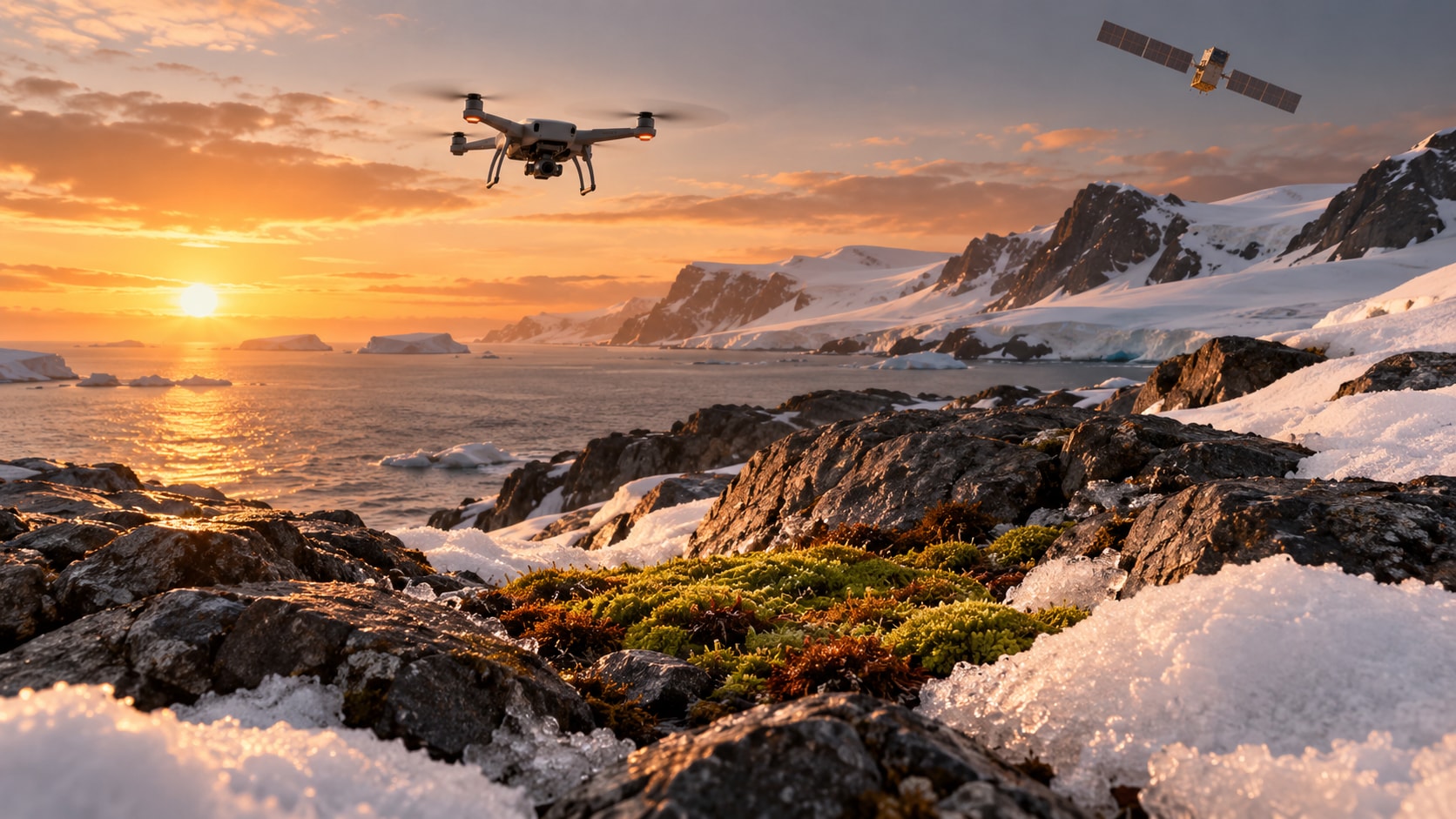
University of Wollongong researchers combine fieldwork, drones, satellite data and AI to monitor Antarctic vegetation.
Why it matters
Our assessment: the value comes from connecting evidence at different scales. An automated map remains only as useful as its validation. For environmental applications, the important question is whether changes reflect the ecosystem or the measurement process. This is research context, not a new six-hour announcement.
What to watch
Watch for independent validation, reproducible datasets and performance across additional environments.
Sources & verification
Source links are not a count of independent confirmations.
01University of WollongongPrimary source · www.uow.edu.au · Sep 30, 2026
Report a correction
Help us get it right
Include the disputed statement and, if possible, a supporting source URL. Please do not send personal or sensitive information.