
What happened
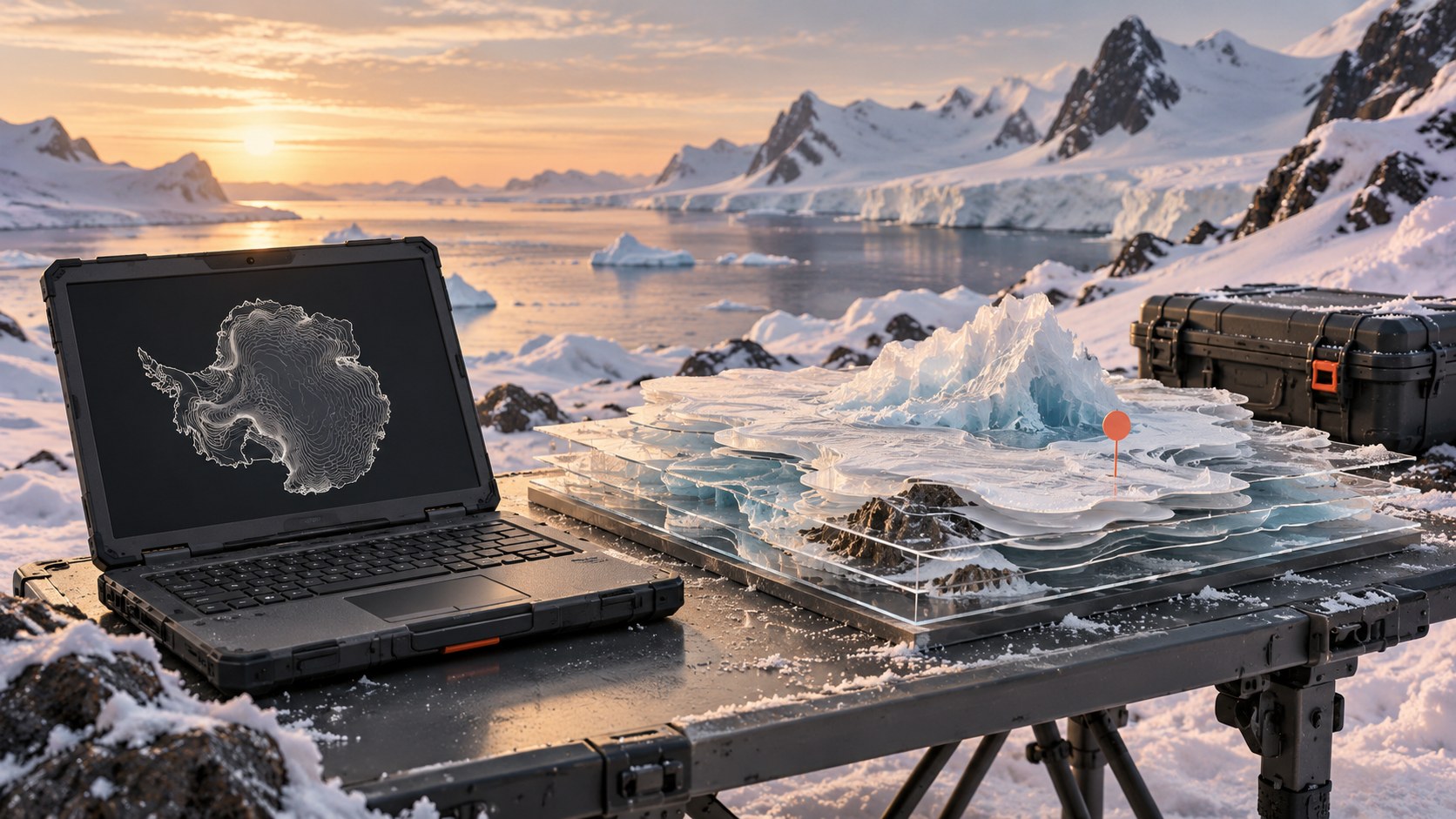
The Norwegian Polar Institute’s release includes roughly 640 geospatial datasets, updated terrain and satellite layers, and material spanning glaciology, oceanography, biology and environmental management.
The Polar Geospatial Center describes the collection as almost twice the size of its predecessor. The compressed package is approximately 10 gigabytes and works offline. The developer’s changelog confirms the release date.
Why it matters
Offline operation is especially useful for field teams with constrained connectivity. A common package can reduce the work of finding and preparing compatible information before research or operational planning. It is a data and mapping release; it should not be presented as a new AI model or an automatically validated account of changing conditions.
What to watch
Users still need to check each dataset’s date, resolution, provenance and limitations, and cite its original creators. Watch how teams use the expanded collection in reproducible research and planning, without assuming every included layer is equally current or precise.
Sources & verification
Source links are not a count of independent confirmations.
01Report a correction
Help us get it right
Include the disputed statement and, if possible, a supporting source URL. Please do not send personal or sensitive information.


